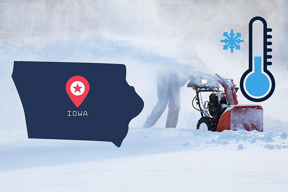
How Much Snow Will Dubuque Get in the Upcoming Snowstorm?
For the better half of a week, we've been hearing about a significant snowstorm in the Eastern Iowa region. It wasn't until this weekend that we finally got a little clarity on how much snow we should expect over the next several days.
I've heard first-hand from a meteorologist friend of mine how tough snow is to track. Information changes rapidly, even up until/when snow starts falling. This is why so many meteorologists and snow-trackers look like they have egg on their face when they predict "Snowpocalypse" and affected areas only end up getting one to two inches of accumulation.

I decided to take a look at two sources in tracking this upcoming snowstorm: the National Weather Service (NWS) and KWWL. Looking at the macro to start, NWS is forecasting snow beginning late Monday, January 8th and continuing on into the following evening (Tuesday, January 9th). Here's a breakdown of the key times/accumulation:
Monday night: Snow, mainly after 8pm. The snow could be heavy at times. Steady temperature around 32. East wind around 15 mph, with gusts as high as 30 mph. Chance of precipitation is 100%. New snow accumulation of 3 to 7 inches possible.
Tuesday morning/afternoon: Snow. The snow could be heavy at times. Patchy blowing snow after 1pm. High near 33. Breezy, with a northeast wind 10 to 15 mph becoming north 20 to 25 mph in the afternoon. Winds could gust as high as 35 mph. Chance of precipitation is 100%. New snow accumulation of 5 to 9 inches possible.
Tuesday night: Snow likely before midnight. Patchy blowing snow before 5am. Cloudy, with a low around 22. Blustery, with a northwest wind 20 to 25 mph decreasing to 15 to 20 mph after midnight. Winds could gust as high as 35 mph. Chance of precipitation is 60%. New snow accumulation of less than a half inch possible. - per NWS, as of the morning of January 8th, 2024

If we take the high-end totals NWS is predicting, that's over 16 inches of snow. If we take the low-end totals, that's still over eight inches of snow expected to fall.
KWWL has issued a Red Alert Day in effect from early Monday evening through late Tuesday night. As of this writing, KWWL is predicting "significant, high-end snowfall accumulations [that] are expected across the entire [Eastern Iowa] area as very strong winds lead to low visibility and near-blizzard conditions."
Overall accumulations are predicted to fall into a 9 to 13'' range from near Tama to Elkader, IA, and all areas south. North of that dividing line could see 5 to 9'' fall.
Here's KWWL prediction synopsis of Tuesday, the biggest day of the storm, as of Monday morning:
Snow showers continue for a large chunk of the day and for a large chuck of the area. They may be heavy at times, but not necessarily everywhere or all day long. However, we’ll see the strongest winds here from the north/northwest at 15 to 30 mph, gusting to 40 or 45 mph. This will create whiteout or blizzard-like conditions with very low visibility and snow-coated roads. Highs are in the low to mid 30s with wind chills in the teens and 20s. - per KWWL
KWWL also broke it down like this, via a tweet: "on a scale of 1 to 5, 5 being the worst, [Eastern Iowa] is looking at a 3 or 4 for overall winter impacts with this storm." That puts Dubuque and the surrounding areas in the red, highlight "major impacts." That boils down to "considerable disruption to daily life / dangerous to impossible driving conditions / widespread closures and disruptions to infrastructure possible."
For a list of delays, closings, and cancellations of schools/businesses in Dubuque and the surrounding Tri-State area, you can stay posted with our "Closings and Cancellations" page. Driving will surely be treacherous over the next couple days, so avoid unnecessary travel if you can.
You can also stay posted on weather updates via the National Weather Service.
LOOK: The most expensive weather and climate disasters in recent decades
Gallery Credit: KATELYN LEBOFF
More From Y105