
It Could Be a Bitterly Cold and Snowy Christmas for the Tri-States
With Christmas merely days away, the question on some people's mind is simple: will it be a White Christmas? Will see or at least have snow for the big day? For those clamoring for snow, the news is good... although it comes with a price.
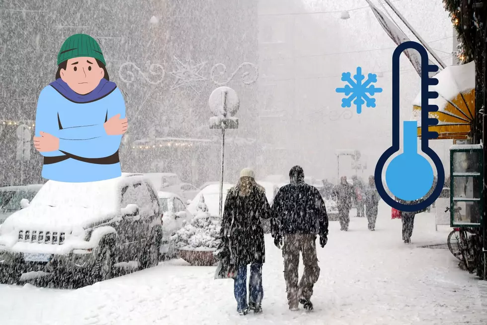
Multiple reports and forecasts for Iowa, Illinois, and the largest Midwest region suggest that a brutal cold snap is coming in-time for the holidays. With that artic chill, snow is indeed expected. How much is the big question, but models are still unclear.
Snowfall in Dubuque and the surrounding eastern Iowa/northwestern Illinois is expected to start ahead of the holiday. We're looking at snow to begin Wednesday evening and last through Friday afternoon. Depending on how fast it falls, that could lead to several inches accumulating over those ~48 hours.
To give you an idea of how immense this storm could be, Northern IL Severe Weather on Facebook — a reliable voice when it comes to severe or adverse weather conditions in the region — shared a graphic yesterday that has the entire state of Iowa and most of Wisconsin and Illinois shaded in red. They indicated the following hazards could be present from Thursday, December 22nd to December 23rd:
- Potentially significant accumulating snow
- Very strong wind gusts
- Significant blowing/drifting snow
- Lengthy delays/impossible travel at times
- Dangerously cold temperatures
Complicating (or, face it, making this situation worse for those of us looking to travel) is that it's also going to be miserably cold this week, and Christmas alike. According to the National Weather service, Dubuque is looking at single-digit temperatures for much of this week, as well as subzero temperatures and wind chills.
Here is the forecast for the week, as of Monday, December 19th:

Keep in mind: these are the actual temperatures. In these conditions, wind chills can drop as low as -20°F, or colder.
I know a couple meteorologists/local weather personalities. Each one tells me the same thing this time of year: snow is difficult to predict, even with advancements in model technology. That's why meteorologists can look like total buffoons if they forecast "Snowmageddon" and Mother Nature merely delivers a dusting.
Stay tuned for further updates on what could be a frigid, snowy Christmas in the Tri-States.
LOOK: The most extreme temperatures in the history of every state
Gallery Credit: Anuradha Varanasi
More From Y105