
Dubuque Sees Its Fourth Largest Single-Day Snowfall with Latest Snowstorm
Yesterday was unlike anything we've witnessed in several years in Dubuque and the larger Tri-State area. It was a snowstorm for the ages, and per the National Weather Service, we're not out of the woods yet. That said, it will take another Herculean storm to top what we endured Tuesday, January 9th, 2024.
Last week, local meteorologists were feverishly tracking a snowstorm over Eastern Iowa that was scheduled to move in Monday, January 8th and last through the following day/evening. It did just that, starting around 9pm on Monday, lasting through the overnight hours, and progressively worsening as the late-morning and afternoon went on. The end result? Hundreds of school and business closures coupled with the storm's mark on the record books.
Per the National Weather Service Quad Cities Iowa/Illinois, Dubuque saw its fourth largest single-day snowfall in recorded history. A whopping 12.6'' of snow blanketed the Key City in just under 24 hours time. Even the City of Dubuque Government Facebook page highlighted the incredible snowfall.
Anybody who shoveled yesterday felt it too. My guess is local chiropractors and back specialists will be plenty busy in the coming days and weeks with people experiencing spinal and lower back injuries from shoveling what was mercilessly heavy, wet packing snow. Good for snowmen, bad for backsides. I bring this up as somebody who severely injured my back shoveling last year. It's no joke.
The unfortunate part is we in Dubuque and the surrounding areas are not out of the woods yet. The National Weather Service, along with KWWL, are tracking two additional storm cells expected to impact our areas this week. Wednesday (January 10th), there could be another dusting of a couple of inches of snow starting later in the evening.
Follow that with Thursday night and Friday's storm, which could see more measurable accumulation to go along with the mess out of which we're still digging:
[....]Thursday night through Friday night as widespread, plowable accumulations(4-7”) could once again be possible along with very strong winds. Blizzard-like conditions are expected. - per KWWL
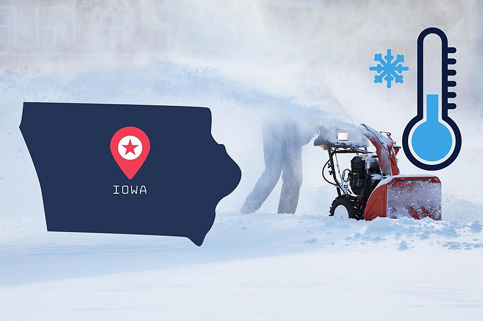
From there, things are going to get brutally cold over Dr. Martin Luther King Jr. Weekend. Temperatures look to dip Saturday evening, falling subzero in the overnight hours and only getting up to single-digit highs from Sunday to at least Tuesday. The current high for Monday? 0°F.
It's important to trust reliable sources during this time. Stay posted with the National Weather Service and KWWL, my two most reliable places for news and weather updates. You can also see the current outlook for the remainder of the week via NWS, as of Wednesday morning:

LOOK: The most expensive weather and climate disasters in recent decades
Gallery Credit: KATELYN LEBOFF
More From Y105